🔴 BNPB & BMKG UPDATE: Tsunami Advisory Rescinded, Emergency Aid Dispatched to Saumlaki
Indonesia's National Disaster Management Authority (BNPB) confirmed that rapid emergency teams are on the ground in the Tanimbar Islands. Logistics supplies, emergency shelters, and backup communications have been mobilized from regional hubs to assist communities experiencing localized structural cracks and power disruptions.
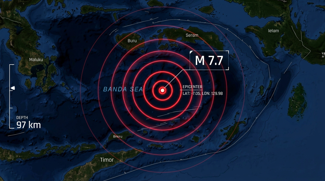
A massive magnitude 7.7 subduction earthquake struck the complex tectonic boundary of the Banda Sea in eastern Indonesia at an estimated depth of 97 km. Real-time seismic telemetry from Indonesia's Meteorology, Climatology, and Geophysical Agency (BMKG) and the USGS pinpointed the epicenter roughly 130 km southwest of Saumlaki in the Tanimbar Islands, Maluku Province.
The powerful rupture unleashed violent shaking across Saumlaki and the surrounding archipelago, with noticeable shaking spreading to Ambon, Kupang, and parts of Timor-Leste. Low-frequency seismic energy propagated across the Timor Sea, shaking multistory apartment complexes in Darwin, Australia, over 500 km away.
BMKG issued an immediate regional tsunami warning for coastal zones in Maluku and Southeast Maluku. The warning was formally cancelled after offshore DART buoys and tidal telemetry confirmed that the 97 km focal depth produced no dangerous sea displacement.