100 earthquakes recorded in Peru regional monitoring zone
Real-Time Earthquakes in Peru
Continuous seismic tracking along the Peru-Chile Trench, Nazca Subduction Zone, and the Andes Mountains.
Strong M 6.7 Earthquake Jolts Southern Peru: Andean Subduction Tremors Rattle Ayacucho, Arequipa, and Lima
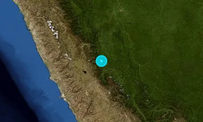
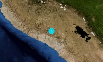
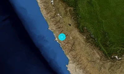
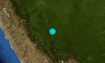
A strong magnitude 6.7 intermediate-depth earthquake struck 38 km northwest of Upahuacho in Peru's Ayacucho Department. The 99 km deep rupture inside the subducting Nazca Plate sent seismic energy across the Andean cordillera, shaking southern Peru and swaying high-rises in Lima.
Recent Earthquakes in Peru
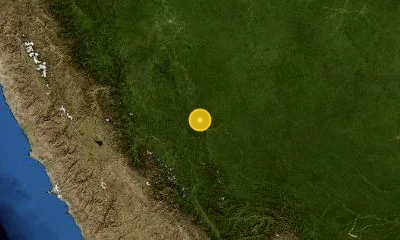
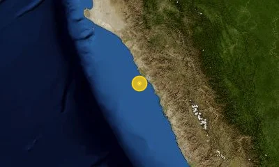
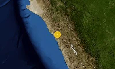
LIVELive telemetry feed and seismic report for earthquakes in Peru.
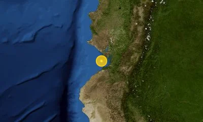
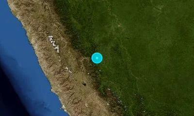
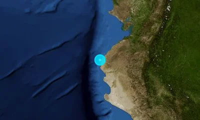
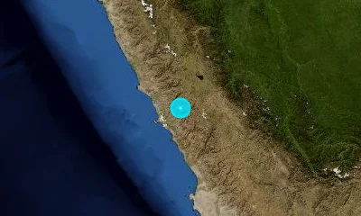
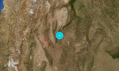
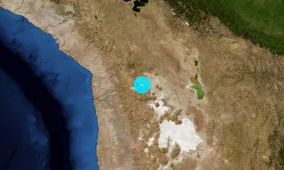
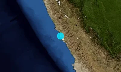
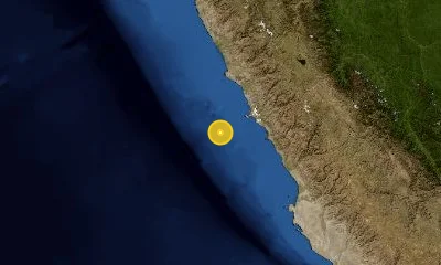
Active Fault Systems & Tectonic Setting
Geodynamic boundaries, subduction dynamics, and crustal deformation zones.
Peru is situated along the Pacific Ring of Fire where the oceanic Nazca Plate subducts beneath the continental South American Plate along the Peru-Chile Trench. This high-rate convergent boundary produces frequent megathrust and crustal earthquakes, monitored in real time by the Instituto Geofísico del Perú (IGP).
Peru-Chile Trench (Northern Segment)
Subduction MegathrustPrimary convergent subduction interface capable of generating M8.0+ megathrust ruptures.
Cordillera Blanca Fault
Normal Fault System200 km normal fault separating the high glaciated peaks of the Cordillera Blanca from the Santa Valley.
Tambomachay & Cusco Faults
Crustal Normal & Strike-SlipActive intraplate fault systems crossing the southern Andean plateau near historic urban centers.
Landmark & Historical Earthquakes
Significant seismic benchmarks, cataloged magnitudes, and geological impacts.
Offshore Chimbote, Ancash
May 31, 1970Subduction megathrust that destabilized Mount Huascarán, causing a massive ice-rock avalanche burying Yungay.
Offshore Arequipa, Southern Peru
June 23, 2001Enormous megathrust rupture affecting Arequipa, Moquegua, and Tacna; generated destructive coastal tsunami waves.
Offshore Pisco, Central Peru
August 15, 2007Ruptured the subduction zone 150 km south of Lima, devastating Pisco, Ica, and Chincha with high-energy shaking.
Frequently Asked Questions
Common questions about seismic activity, safety, and monitoring in Peru.
How does the SASPe seismic alert work in Peru?▾
The Sistema de Alerta Sísmica Peruano (SASPe), developed by IGP and INDECI, uses offshore and coastal accelerometers to broadcast sirens across Lima and coastal cities seconds prior to severe ground shaking.
What was the Yungay disaster in the 1970 Peru earthquake?▾
The M7.9 Ancash earthquake triggered the collapse of the north face of Mount Huascarán, sending 50 million cubic meters of ice, mud, and rock cascading down at 300 km/h, burying the entire town of Yungay.
Is Lima at risk of a major earthquake?▾
Yes. Geodetic studies identify a long-standing seismic gap along the central Peruvian subduction margin near Lima that has accumulated significant slip deficit since the historic 1746 earthquake.