🔴 IGP & INDECI CORDILLERA UPDATE: Mountain Highway Inspections and Real-Time Aftershock Monitoring
Peru's National Civil Defense Institute (INDECI) confirmed emergency brigades are monitoring high-altitude transit corridors, where minor rockfalls and loose gravel were cleared from mountain passes. Essential utilities, water lines, and communications remain fully operational, with local emergency operation centers (COEL) inspecting rural adobe structures for non-structural plaster cracks.
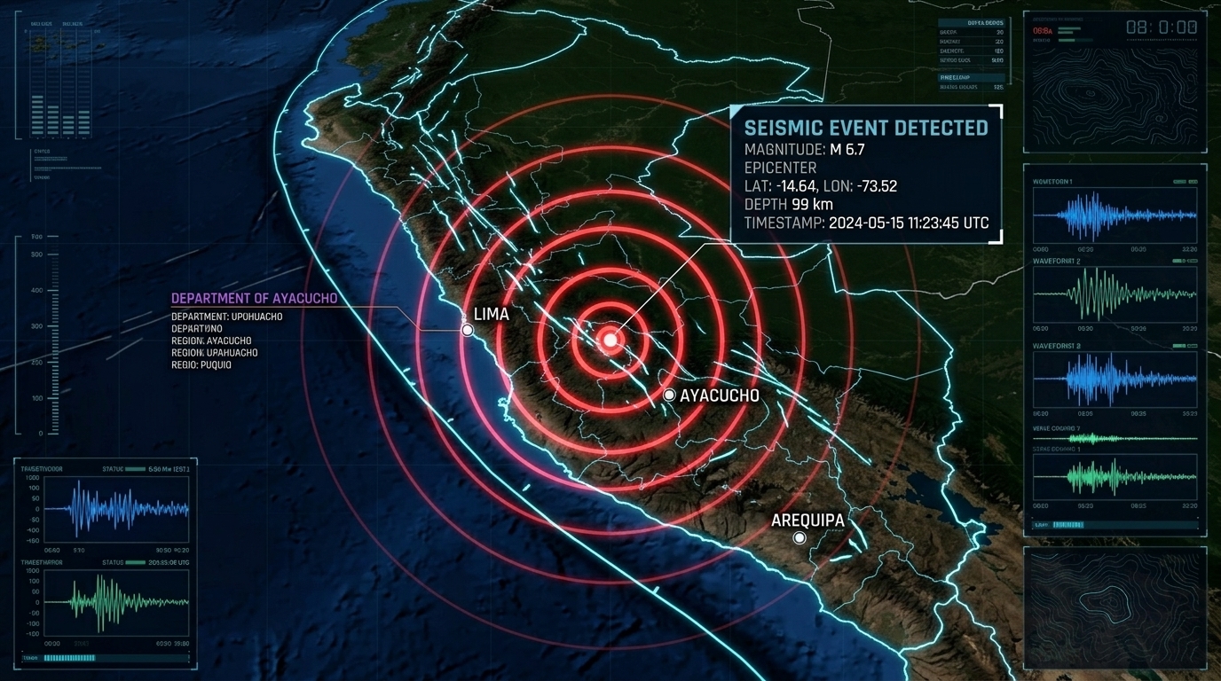
A strong magnitude 6.7 earthquake struck southern Peru's rugged Andean cordillera at 18:00 UTC (13:00 local time), centered roughly 38 km northwest of Upahuacho and 31 km northwest of Aniso in the Ayacucho Department. Telemetry from the Instituto Geofísico del Perú (IGP) and USGS localized the focus at an intermediate depth of 99 km inside the cold, descending slab of the oceanic Nazca Plate beneath South America.
Living in the Andean seismic corridor reminds us how intermediate-depth subduction tremors propagate: they diminish high-frequency surface shockwaves while broadcasting long-period seismic waves hundreds of kilometers across the continental craton. Moderate to strong shaking (MMI V–VI) caused alarm across mountain communities in Ayacucho, Apurímac, Huancavelica, and Arequipa, while high-rise apartment towers in metropolitan Lima—over 450 km to the northwest—swayed rhythmically for nearly a minute.
The Directorate of Hydrography and Navigation of the Peruvian Navy (DHN) and the Pacific Tsunami Warning Center promptly confirmed that given the 99 km focal depth and inland mountainous epicenter, the event created zero tsunami threat along Peru's Pacific coastline.