🔴 NOVEMBER 9 UPDATE: Latest Magnitude 6.1 Earthquake Strikes Offshore Hasaki
The latest earthquake in the cluster struck at 04:52 UTC (1:52 p.m. local time) on Monday, November 9, centered 106 km east-northeast of Hasaki at a depth of 24 km and recorded as magnitude 6.1 by the Japan Meteorological Agency and 5.7 by the USGS. It was followed nine minutes later by a magnitude 4.6 aftershock 70 km east-southeast of Takahagi at 35 km depth, prompting no tsunami warning and producing only a brief, gentle sway along the Ibaraki and Chiba coast.
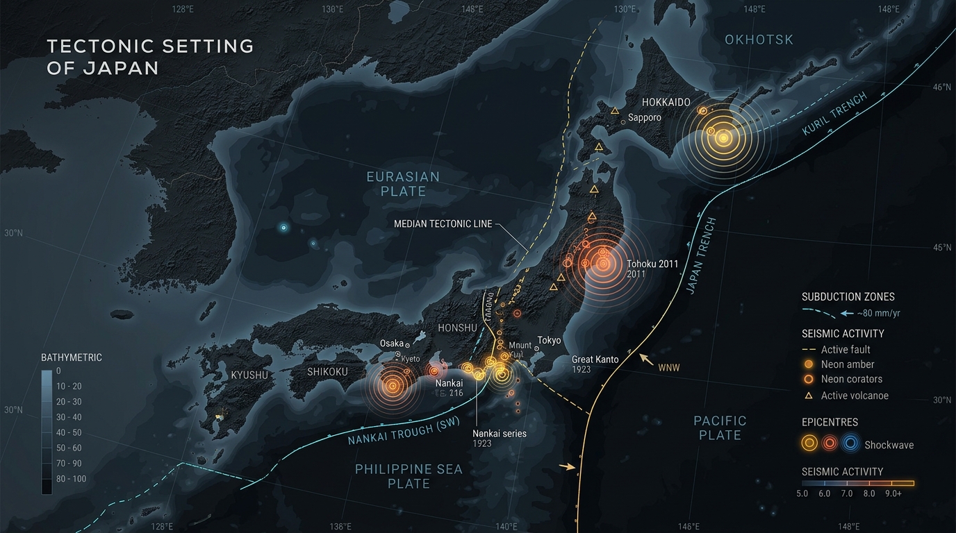
Between November 6 and November 9, 2026, four earthquakes ranging from magnitude 5.5 to 6.1 struck eastern and central Honshu, alongside more than a dozen smaller tremors above magnitude 4.0. None of the earthquakes triggered a tsunami warning or caused structural damage, though the back-to-back activity showed how differently offshore and inland tremors are felt on the ground.
Most of the week's energy was released in the Pacific east of Hasaki near the Ibaraki-Chiba border, starting with a magnitude 6.1 quake on November 6 (144 km offshore at 29 km depth) and a magnitude 5.5 tremor on November 7. The same offshore zone produced another magnitude 6.1 earthquake on November 9 at a depth of 24 km, sending a gentle, rolling sway across the Boso and Kashima peninsulas because the ocean crust cushioned the sharpest jolts.
By contrast, the most widely felt tremor of the week occurred inland just after 1:00 a.m. local time on November 8, when a magnitude 5.5 earthquake struck near Hamakita in western Shizuoka at a depth of 38 km. Because it ruptured directly beneath populated towns, the waves traveled straight to the surface and woke residents across western Shizuoka and eastern Aichi, where earthquake-resistant buildings handled the shaking without issue.